Forests are vital to global ecosystems, biodiversity, and climate regulation, but managing these expansive and often remote areas poses significant challenges. Enter Skyscouter, a leader in hybrid gas-powered drone technology, whose Beyond Visual Line of Sight (BVLOS) drones equipped with LiDAR, thermal imaging, and high-resolution cameras are transforming forestry management. By enabling rapid, precise, and large-scale data collection, Skyscouter’s solutions are unlocking new opportunities for sustainable forest stewardship. Here’s how.
1. Skyscouter’s BVLOS Drones: Built for Forestry’s Unique Demands
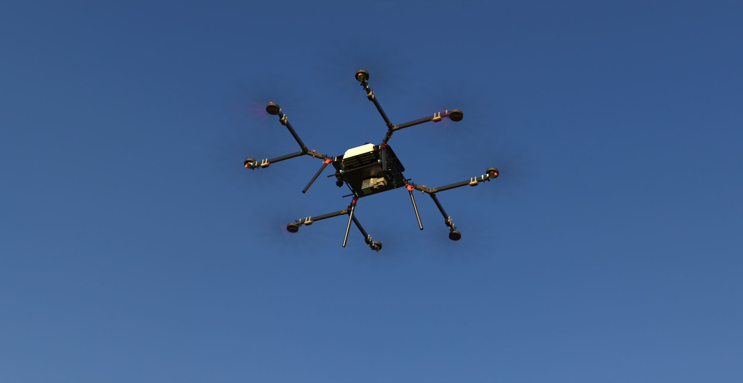
Skyscouter’s drones are engineered to overcome the limitations of traditional forestry operations. With a 5-hour flight time, 200 km operational range, and 10 kg payload capacity, these drones can survey vast forested areas without frequent refueling or human intervention. Their hybrid gas-powered design ensures reliability in extreme temperatures (-10°C to 50°C) and harsh terrains, making them ideal for remote or rugged environments like Canada’s boreal forests or New Zealand’s plantation estates.
Key Features:
- Extended Flight Time: Covers up to 1,000+ hectares in a single mission, replacing labor-intensive ground surveys.
- BVLOS Compliance: Operates beyond visual line of sight, eliminating the need for pilots to maintain direct visibility—critical in dense forests where trees obstruct sightlines.
- Advanced Payloads: Supports LiDAR, multispectral cameras, and thermal sensors for comprehensive data collection.

2. LiDAR: Precision Mapping and Carbon Analysis
LiDAR (Light Detection and Ranging) is a game-changer for forestry management. Mounted on Skyscouter drones, it generates 3D forest maps with millimeter-level accuracy, capturing data on tree height, canopy density, and ground topography.
Applications:
- Precision Inventory: LiDAR rapidly measures tree biomass and carbon storage, essential for climate change mitigation and carbon trading programs.
- Health Monitoring: Detects subtle changes in canopy structure, identifying pest infestations or disease before they spread98.
- Reforestation Planning: Maps degraded areas to optimize seedling placement and monitor growth over time.
3. Multispectral and Thermal Cameras: Early Threat Detection

Skyscouter’s high-resolution cameras provide actionable insights into forest health:
- Multispectral Imaging: Captures wavelengths invisible to the human eye, revealing stressed vegetation and nutrient deficiencies8.
- Thermal Sensors: Detects heat anomalies for early wildfire detection, enabling rapid response to prevent catastrophic damage814.
4. BVLOS Operations: Expanding Efficiency and Safety
Traditional Visual Line of Sight (VLOS) methods are impractical in forests, where trees block visibility and terrain complicates access. Skyscouter’s BVLOS capabilities address these challenges:
- Large-Scale Coverage: Surveys entire forest estates (e.g., 6,000+ hectares) without requiring visual observers or costly equipment like mobile elevating platforms.
- Risk Mitigation: Reduces the need for personnel to traverse hazardous areas, such as steep slopes or wildfire zones.
- Regulatory Alignment: Complies with updated BVLOS frameworks, such as Transport Canada’s 2025 guidelines, which streamline approvals for low-risk forest operations.
5. Opportunities for Sustainable Forestry
Integrating Skyscouter’s technology creates transformative opportunities:
- Cost Savings: Early detection of issues like pest outbreaks cuts remediation costs by up to 90% compared to reactive measures.
- Carbon Sequestration: Accurate biomass data supports carbon credit programs, incentivizing forest conservation.
- Biodiversity Protection: LiDAR identifies critical habitats and migration corridors, aiding wildlife conservation efforts.
- Disaster Resilience: Post-storm or wildfire damage assessments accelerate recovery, minimizing ecological and economic losses.
Challenges and Future Directions
While Skyscouter’s drones offer immense potential, challenges remain:
- Signal Attenuation: Dense foliage can weaken communication links, necessitating robust C2 systems.
- Regulatory Complexity: Operators must navigate varying BVLOS laws across jurisdictions.
- Community Engagement: Collaborating with Indigenous groups ensures cultural and environmental priorities are respected.
Skyscouter’s BVLOS drones, armed with LiDAR and advanced imaging, are redefining forestry management. By combining unparalleled efficiency, precision, and sustainability, they empower foresters to protect ecosystems, combat climate change, and unlock economic value. As regulations evolve and technology advances, the future of forestry lies in the skies—where innovation meets conservation.
Explore Skyscouter’s forestry solutions: skyscouter.com/hybrid-drone
#SustainableForestry #BVLOS #LiDAR #DroneTech #ClimateAction #Skyscouter #ForestManagement #WildfirePrevention #CarbonSequestration #GreenInnovation